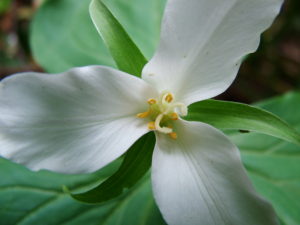
![]() Seattle Urban Nature Project was founded in 1998 to survey and map vegetation and wildlife habitat on Seattle’s public land. SUNP provided education/training, custom GIS and habitat mapping, and ecological assessment/consulting for non-profit, public sector, and private organizations in the Puget Sound region. As of 2007, 80% of it’s funding came from fee-for-service work.
Seattle Urban Nature Project was founded in 1998 to survey and map vegetation and wildlife habitat on Seattle’s public land. SUNP provided education/training, custom GIS and habitat mapping, and ecological assessment/consulting for non-profit, public sector, and private organizations in the Puget Sound region. As of 2007, 80% of it’s funding came from fee-for-service work.
I started at SUNP as an outreach assistant supporting Executive Director Sharon London. After a few months I was overseeing content on the website, managing photo galleries, events, stories and figuring out how to publish our newsletter in multiple format types (pdf, html, and Publisher). I tended towards the technical support side of things while simultaneously contemplating ways SUNP could showcase their work and gather an online following.
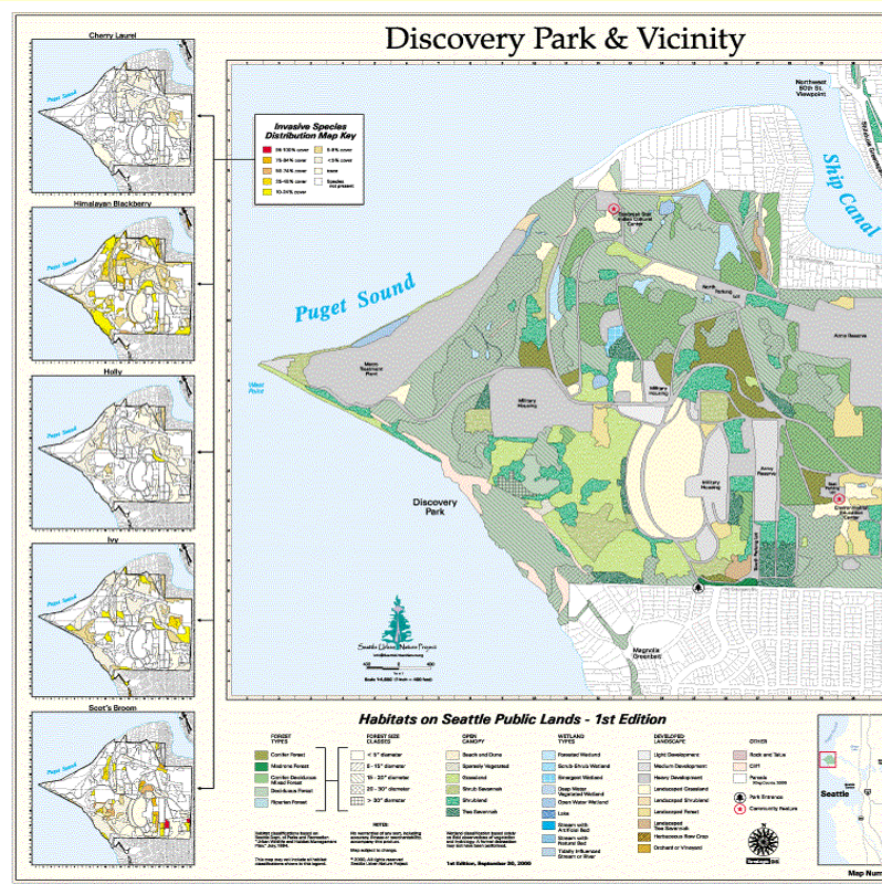
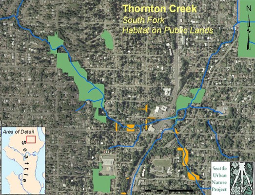
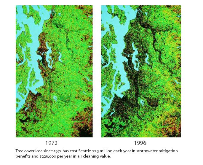
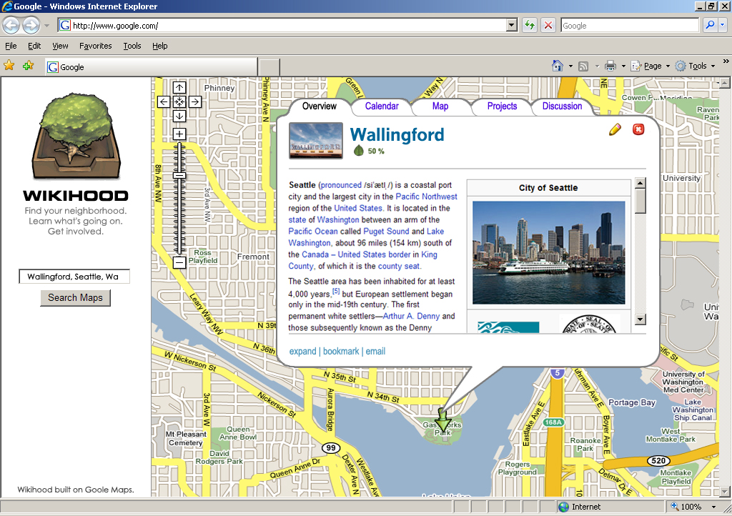
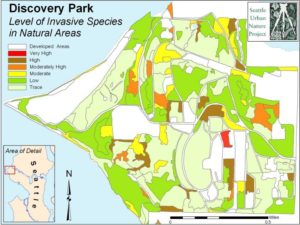
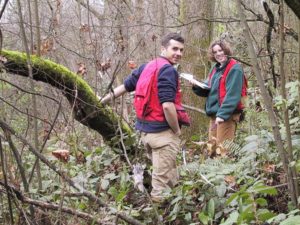
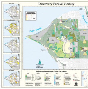
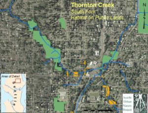
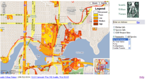
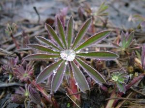
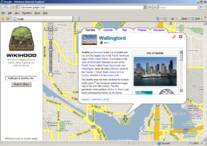
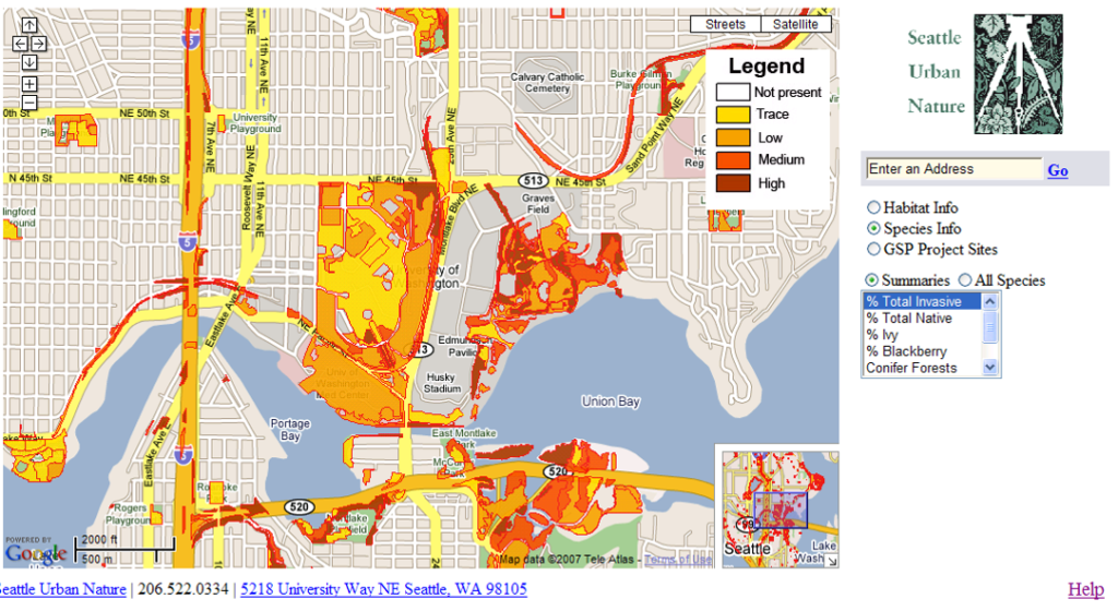
SUNP had started an “Interactive Habitat Map” based on a 1999 survey of 8,000 acres of public lands in Seattle. Researchers had classified habitat types throughout the city (species names and % cover) to demonstrate significant habitat fragmentation, decrease in habitat and plant diversity, and increases in invasive plant species. The IHM aimed to make the 1999-2000 survey accessible to the public and inspire people to become active stewards of urban nature. Sharon and I saw more possibilities with this tool, such as bringing together disparate ecological restoration groups with a unified data set that could grow with crowdsourced information.
In retrospect, this idea may have been a bit ahead of it’s time, and would have required significantly more effort and resources than we had available (if I had a penny for every time I’ve encountered this in my career…). We earnestly tried despite that.
I had some connections at the Microsoft Green group and we pitched to them just before the economic crash of 2008, after which this group was re-orged and dissolved. We prepared and delivered a presentation and discussed possibilities to use Microsoft’s then-new 3D mapping technology to provide a different perspective of this data. Our brainstorming session and subsequent conversations went so far as creating immersive worlds for map users to walk through.
After reviewing my presentations on this topic, I considered a few reasons why this didn’t take off at the time:
- We may have needed about 1 more year to incubate the ideas around it
- The tech to make something like this less resource intensive wasn’t as readily available as it is now
- We may have needed to put more research and time into data standards in the restoration “industry” and work around what would be most readily available long term, which may have been a viable opportunity/mission in itself
SUNP merged with EarthCorps in 2009. Crowdsourcing ecological data still continues to fascinate me and I see new possibilities to encourage citizen stewards and wildlife enthusaists to make their contributions in the uniquely challenging art and science of ecological restoration via emerging technologies. That was a mouthful.
This project marks my transition into the world of technology. I had a longing to see how we can automate the collection of detailed forest data beyond aerial imagery while bringing communities together and rewarding citizen scientists. I wanted to see how tech could support researchers and agencies acting to protect our natural resources. Off I went into the “sensors and computers” rabbit hole…
Seattle Urban Nature Project